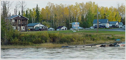
Directions to Klotz Lake Camp
|
GPS Location: N49* 47.906' - W085* 52.417'
Driving to Klotz Lake Camp From Western U.S.A. travel Highway 61 from Duluth, Minn. to Thunder Bay, Ontario. Follow Highway 11 east to Longlac. Klotz Lake Camp is on Highway 11 - 30 miles (50km) east from Longlac. It takes about 3.5 to 4 hours from Thunder Bay to camp. From Mid-West U.S.A. enter Canada through Sault Ste. Marie, Michigan. Take Highway 17 to White River. Take Highway 631 to Highway 11. Take Highway 11 west for 60 miles (100km) to Klotz Lake Camp. We are approximately 6.5 to 7 hours from Sault Ste. Marie, about 4 hours from Wawa, 3 hours from White River and two hours from Hornepayne. Your last place for gas/fuel is Hornepayne, so watch your gauge. Also - a note about GPS programs - they do not recognize Hwy. 631 and suggest Hwy. 614. Do not take Hwy. 614 - it's a logging road, unpaved and dangerous. Hwy. 631 goes north at White River. |
Find us on Google Maps
|
